

Map Wallpaper - Great Britain Classic
£100.00
This price is inclusive of VAT. Delivery is £9.99.
-
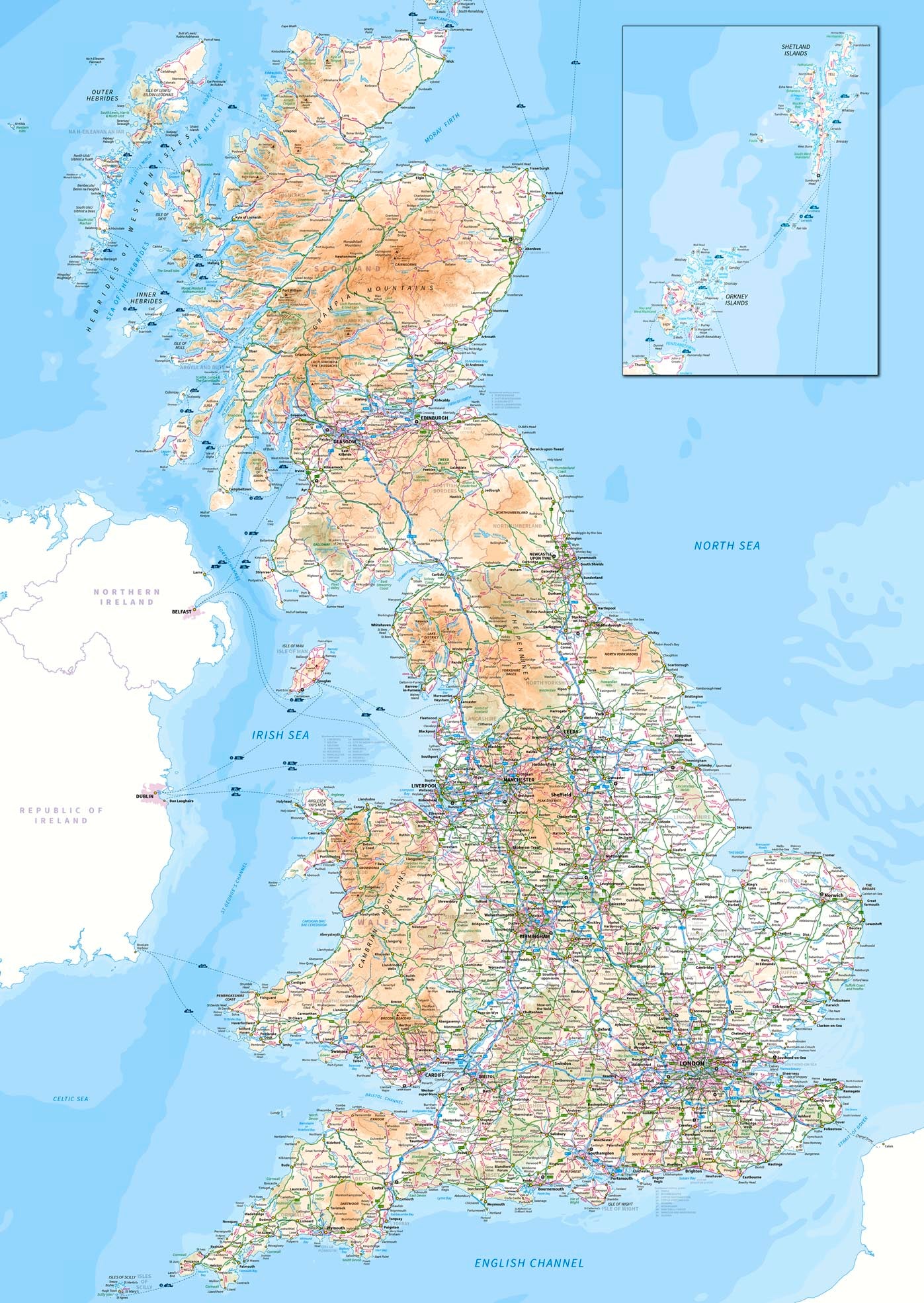
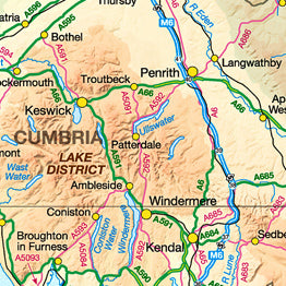
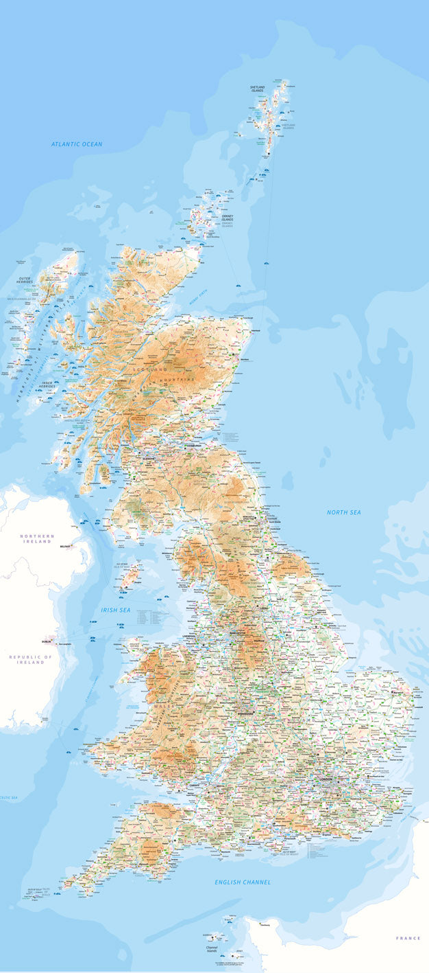
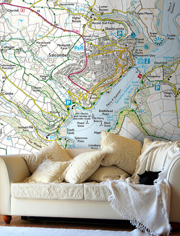
Create a feature wall in your home, office or school with this classic map of Great Britian on self adhesive wallpaper. Based on Ordnance Survey Maps this road atlas style of mapping allows for route planning across England, Scotland and Wales. Towns, cities and counties are shown along with motorways, roads, railways and rivers with additional shaded relief to enhance the physical landscape.
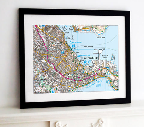
This map can be customised by adding your company logo and any additional details exclusive to your business, contact us with your map requirements and bespoke sizing, we'll create a map exclusive to you and your needs.
• Example sizes and pricing above
- Dimensions shown are width x height.
- For installation details please see our wallpaper hanging hints and tips.
-
Standard Wallpaper (requires wallpaper paste).
A smooth, PVC Free, matt non-woven wallpaper of 300 microns with high opacity and excellent wet strength resistance. Can be hung using standard wallpaper paste and does not require any lamination. Flame retardant rating of B-s1.
Self Adhesive Wallpaper.
A peel and stick fabric based (Polyester blend) inkjet media of 280gsm, sticks to any non porous surface including walls, doors and windows. Easy to apply, reposition and remove without damaging the host surface.
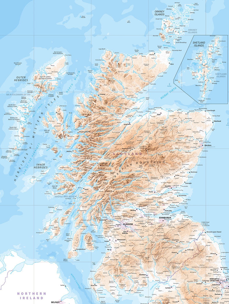
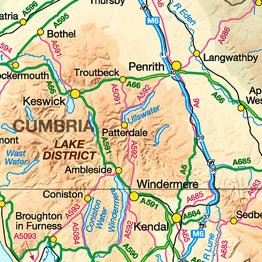
Wallpaper map of Scotland
First of all, the company was very helpful in clarifying options and finding a map that suited. We were adamant that we wanted hills but not roads on our map; after initially not finding a suitable one on the website I sent in a photo of our old traditional poster and the company managed to get a digital file of the same map! They then sent us a proof and even arranged to make the hills look darker and so more pronounced. The wall the map covered was roughly 1.5m x 2m; we were able to give sizes to the mm and the delivered map was accurate to that. The map came in two pieces the hardest part was the traditional wall-paper challenge of alignment! The section was quite easy - the adhesive is pressure-sensitive so once in place a good rub with something that won’t damage the ink got it staying in place (I just rubbed with my hands making sure they were clean and dry, but I did get a slight blue transfer from doing the sea bits although I couldn’t see any effect on the map). The second section then needed the alignment and I needed help from my partner as I couldn’t do it and hold the weight of the rest of the map at the same time. However, we did manage a close alignment and even on the sea parts you can barely see it. The finish was good despite having to cut around a plug socket (carefully with a craft knife!) for the second piece. We did get a couple of small bubbles low down that we couldn’t get rid of but it doesn’t reduce the overall effect (and I think if i’d have got help from the start I’d have avoided them!). My only suggested improvement would to have the backing side in sections, either cut or perforated - these could be quite big, for example 30-50cm high, but that would have helped as having the backing just as a single piece meant that as you were peeling it off it was getting in the way, and it would have also helped to secure one section, and then peel off another.


Share this item: