Nautical Chart - Admiralty Chart 1827 - Harbours on the South East Coast of England
£70.00
-
Admiralty Chart - 1827, showing Harbours on the South East Coast of England including Pegwell Bay and the River Stour, Margate, Broadstairs, Ramsgate and the approaches to Ramsgate.
Available in 3 sizes as Rolled Poster Prints or as Canvas Prints.
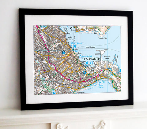
Also available as a Framed Print.
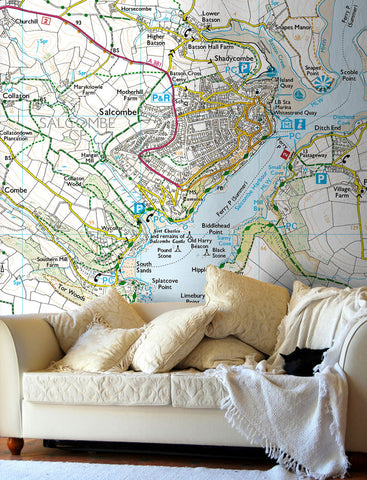
For Wallpaper, Glass Splashbacks and Ceramic Tiles.
Contact Us with your requirements.For decorative purposes. Not for navigation. All sizes are approximate.
-
A superb gallery quality poster printed on high grade premium 190gsm satin paper, lasts up to 80 years.
- Posters are rolled and packaged in a cardboard tube.
-
- Premium quality 330gsm poly-cotton material
- UV stable, fade resistent ink, with a satin finish
- Hand stretched over a 3.8cm wooden frame
- Supplied ready to hang
More Information:
- The wooden frame includes corner spacers that are designed to be gently tapped to re-tighten the canvas should it become loosened in transit.
Customer Reviews0.0 Based on 0 ReviewsWrite a ReviewFilter Reviews:


Share this item: