


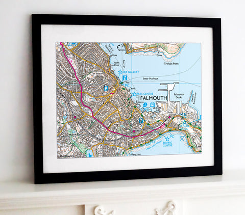
Framed Nautical Chart - Admiralty Chart 2451- English Channel - Newhaven to Dover and Cap d'Antifer to Cap Gris-Nez
£235.00
-
Admiralty Chart - 2451, showing the English Channel from Newhaven to Dover and Cap d'Antifer to Cap Gris-Nez. A fantastic gift for anyone with an interest in the UK's coastal waters.
Frame size: 70cm x 100cm (28” x 40”)
Map image size: 59cm x 89cm- Choice of frame colour.
- Also available as canvas prints and posters.
-
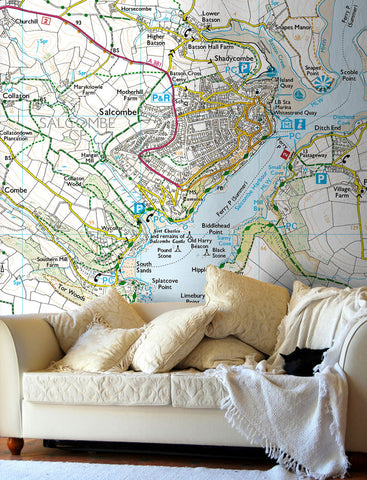
For Wallpaper, Glass Splashbacks and Ceramic Tiles.
Contact Us with your requirements. - P&P £13.99
NB. The images shown with these products are indicative only. Please see the full product description in the Frame Information page above.
For decorative purposes only. not for navigation.
-
- Black, White and natural high quality wood frame. The frame has a square profile measuring 20mm (front face) by 22mm (depth from wall).
- White 1.4mm mount - ‘conservation’ grade, FSC certified, 100% acid free, and will not discolour or fade with age.
- Acrylic Plexiglass; providing increased UV protection and reduced glare.
- Maps are printed using Enhanced Matte Art (EMA) substrate, a premium-quality 200gsm heavyweight paper with a gently textured surface.
Customer Reviews
5.0 Based on 1 Reviews
Write a Review Filter Reviews:
PM
17/08/2023
Peter M.
United Kingdom
Chart of the Dover straight
The chart was not on their inventory, they said they would get it and put on their web site! Which they did within days and a few weeks later I had my beautiful framed chart, excellent service


Share this item: